Urubamba River, 67-82: IV (P)
Water and ice in the Urubamba valley
After booking the flight to Peru with kayaking in mind, I learned the country has other attractions. Apparently what lures most travellers isn´t the epic potential for multi-day boating, but the ruins of the ancient Incan race. This ¨Macho Picture¨or ¨Mucho Pisco¨or whatever it´s called is the country´s iconic attraction. God only knows how many photos have been taken of the place, but I´ve seen at least three so far. Anyway, near the famous mountaintop city are countless other terraced ruins along the Incan Trail connecting Macchu Picchu to the Sacred Valley. The Sacred Valley is an oasis of flat, fertile agriculturical land at 9,000 feet surrouned by glacier-topped Andean peaks. And through this beautiful valley flows the Urubamba River.
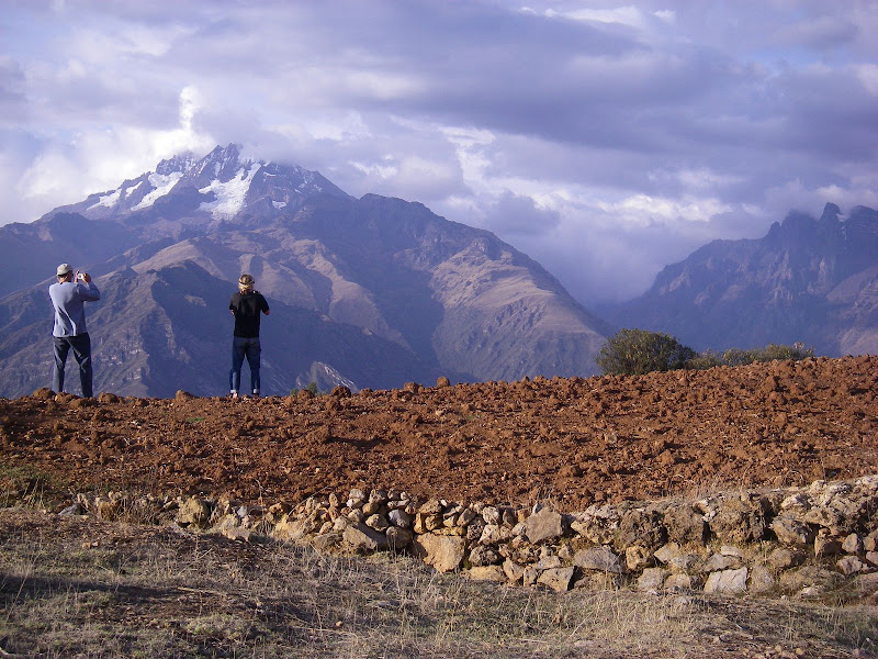 |
Dave, Zak, and some mighty large mountains across the Sacred Valley
A train now follows the Urubamba canyon all the way from the Sacred Valley to Santa Teresa, carrying tourists to Aguas Calientes along the way where they have a shorter walk to Macchu Picchu. Boaters refer to different sections of river by the kilometer markers of the railroad. We got some beta from our kayaker friend Juanito that the section through the valley to km 70 is the commercial class III section. From 70 to 78 is mostly flat, 78 to 82 is good fun, 82 to 88 is full-on class V, and below 88 is mostly un-run crazy class V+/VI. The owner of our hostel thought it was probably mellow class III that we could run all the way to Macchu Picchu and we should just paddle there, but we decided the kayaker was probably more reliable.
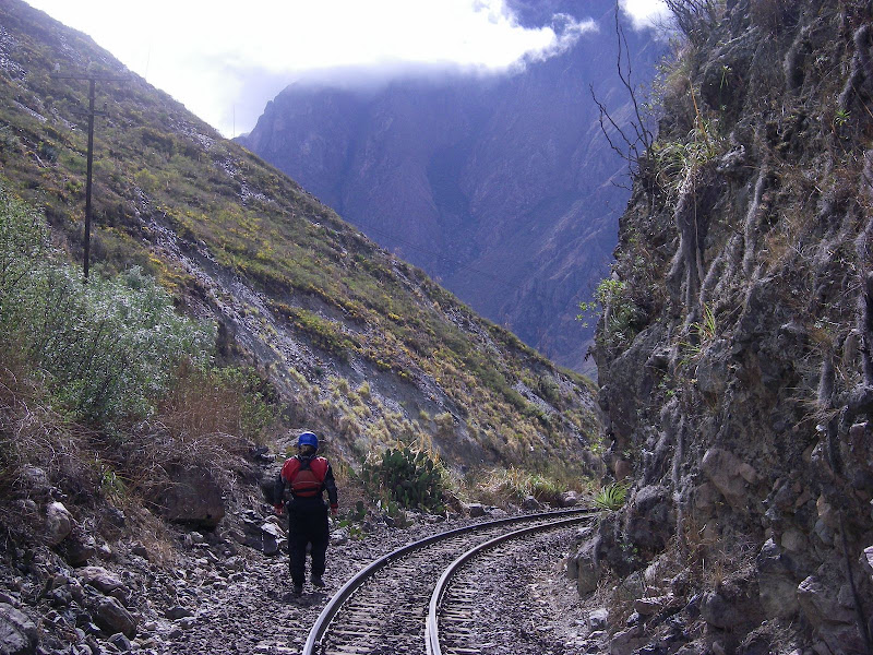
The railroad makes scouting and portaging much easier
For this excursion, we found the town of Ollantaytambo to suit our needs quite well. It´s a low-key tourist town near the mouth of the valley with plenty of cheap hostals, restaurants, and river access. So without further adue, we hoofed our boats through town and put in at km 67. Not hiring a taxi to drive us downstream further meant we actually had to get some exercise, since the first 11 km were flatwater with a couple class II or III rapids.
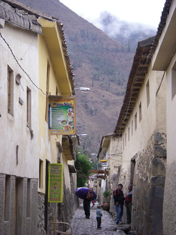
Zak carrying his boat through the alleyways of Ollantaytambo
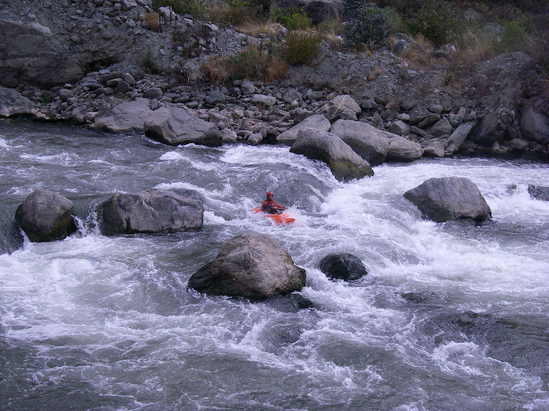
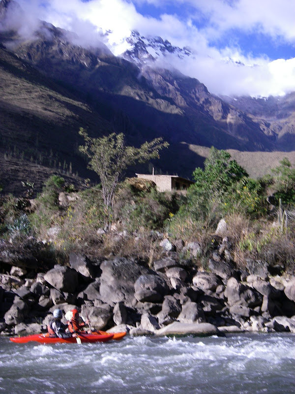
Dave in one of the earlier rapids
After the warm-up, we rounded a corner and got into some continuous boulder gardens. We boat-scouted for about a kilometer before the gradient warranted a scout. What we saw dropped our spirits pretty quickly. The river suddenly took on a gradient around 400 fpm for as far as we could see. Eddies were scarce and nothing looked particularly enticing. Some of the moves in this section looked extremely challenging, but it was all runnable. Just not for us, not today.
This is my camera not doing justice to the steepness of the class V+ mess we portaged
A sign marking km 79 assured us that we hadn´t missed our take-out, so we walked down the train tracks to see what was downstream. Ultimately, we decided on a half-mile portage, which was greatly facilitated by the tracks. With a rope and a little teamwork, we were back on the water again and feeling good.
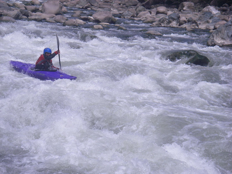
Zak back on the water
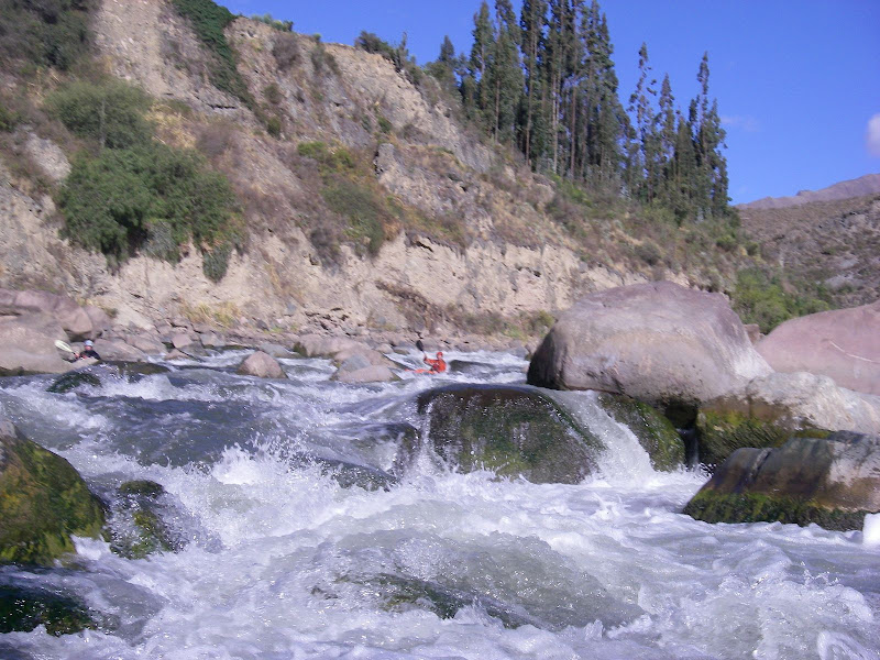
The next couple of kilometers offered clean, continuous class III/IV rapids with the occasional scout. There really isn´t much to say about this section. It´s runnable. We ran it. It was exactly what we expected from talking to Juanito: good, fun rapids. After a couple kilometers, we came within view of Puente Verde, the takeout bridge. Dave broke his paddle two rapids above the bridge, so we took out at the first trail up to the town.
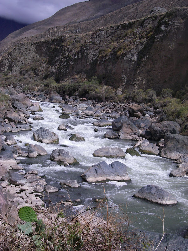
Long, fun boulder gardens typified this run
Puente Verde is the beginning of the Inca Trail trek, so we saw hoards of porters and tourists working their way through the checkpoint. Km 82 is also the very end of the road. From here, we were able to get rides on the local collectivos (minivan taxis) back to Ollantaytambo for just over a buck with boats, so arranging a shuttle ahead of time is unnecessary. Below here, boaters have to hike their boats back up to km 82 to get a ride. Fortunately, the railroad is still there and make the hike back out fairly easy. Just watch for trains.
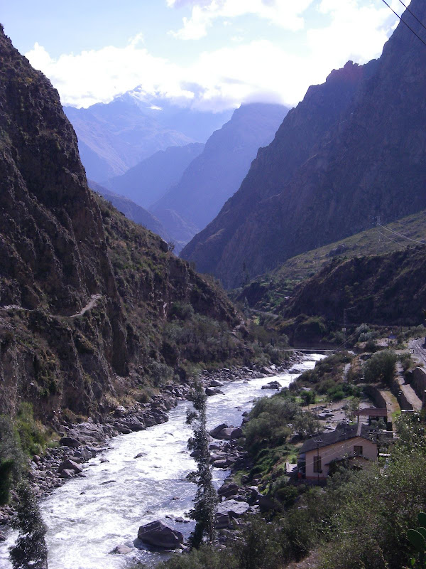
The looking downstream into the steep Urubamba canyon
More info on this lower stretch can be found at http://www.peruwhitewater.com/.


Comments